Locally owned tour operator in Shillong · Meghalaya & North East India
LAKES & RIVERS · WEST JAINTIA HILLS

Dawki & Umngot River

The river so clear that boats seem to float on air — Meghalaya's most photographed sight, on the India–Bangladesh border.

82 km from Shillong · 3 hBest Nov – Apr#3 in Meghalaya
Photo: ANKAN · CC BY-SA 4.0
From Shillong 82 km · 3 h
Time needed Half day to full day
Difficulty Easy
Entry Boat rides are charged per boat…
Best time to visit Dawki & Umngot River: JFMAMJJASOND Nov – Apr — November to April (clear water)

The Umngot river at Dawki is famous for one thing: water so transparent in winter that boats appear to hover above the stones of the riverbed. Dawki is a small border town in the West Jaintia Hills, and the river marks part of the India–Bangladesh border here, crossed by the Dawki suspension bridge.

The clarity is strictly seasonal. From roughly November to April the river runs low and clear, and a boat ride from the Dawki ghat is the highlight of many trips. During the monsoon the Umngot turns fast, brown and high, and boating is often suspended. Upstream at Shnongpdeng the same river offers calmer water, riverside camping, kayaking and cliff jumping.

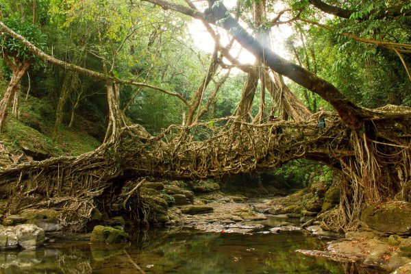
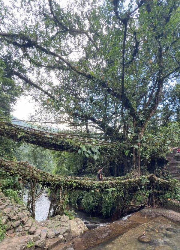
Dawki pairs naturally with Mawlynnong and the Riwai living root bridge, both roughly an hour away, making a full day trip from Shillong.
Why visit

For the surreal floating-boat view, the single image most people associate with Meghalaya.

Local tip

Go before 9 am between November and March. By late morning the queue for boats can stretch past an hour.

Highlights of Dawki & Umngot River

  • Crystal-clear winter water on the Umngot
  • Boat rides from Dawki ghat
  • India–Bangladesh border and Dawki bridge
  • Combine with Mawlynnong and the Riwai root bridge
  • Camping and water sports upstream at Shnongpdeng

How to reach Dawki & Umngot River

Drive from Shillong via Pynursla. The road is scenic but winding, so allow three hours each way. Most visitors combine Dawki with Mawlynnong in one day.

FromDistanceTypical drive
Shillong82 km3 h
Guwahati182 km6 h approx.

Approximate road distances. See the full Meghalaya distance chart →

Entry fee

Boat rides are charged per boat at locally fixed rates — fees are set locally and change from time to time. Carry cash.

Dawki & Umngot River on the map

Map location is approximate — confirm the exact entrance with your driver.

VISIT DAWKI & UMNGOT RIVER

Include this in your trip

Tell us your dates and we will build an itinerary that reaches Dawki & Umngot River at the right time of day.

Ask on WhatsApp
AreaWest Jaintia Hills
TypeLakes & Rivers
From Shillong82 km
From Guwahati182 km
NEARBY

Places to visit near Dawki & Umngot River

All tourist places
Shnongpdeng, West Jaintia Hills, Meghalaya — photo coming soon
West Jaintia Hills

Shnongpdeng

The quieter upstream stretch of the Umngot — riverside camping, kayaking, snorkelling and cliff jumping.

90 km from Shillong 1 day or overnight
Krang Suri Falls, West Jaintia Hills, Meghalaya Top 10
West Jaintia Hills

Krang Suri Falls

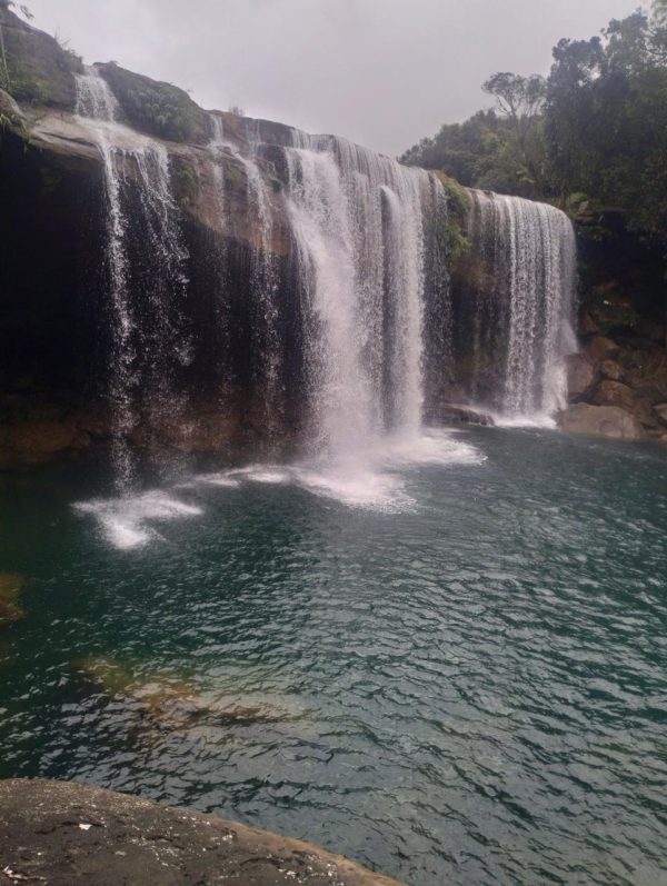
A wide curtain of water falling into an unreal blue-green pool — the best natural swimming…

95 km from Shillong Half day

Shnongpdeng ~5 km away · Mawlynnong Village ~11 km away · Riwai Living Root Bridge ~11 km away · Krang Suri Falls ~19 km away (straight-line distance; road distance is longer)

YOUR MEGHALAYA AWAITS

Tell us what you want
to experience.

Send us your dates and we will build the itinerary — free, with honest line-by-line pricing.