Locally owned tour operator in Shillong · Meghalaya & North East India
CULTURE & VILLAGES · EAST KHASI HILLS

Sohra — Cherrapunji

The town on the edge of the plateau — waterfalls, caves, canyons and the clouds that made it famous as the wettest place on earth.

54 km from Shillong · 2 hBest Jun – Mar#1 in Meghalaya
From Shillong 54 km · 2 h
Time needed 1 to 2 days
Difficulty Easy — most sights are roadside
Entry Varies by site
Best time to visit Sohra — Cherrapunji: JFMAMJJASOND Jun – Mar — September to April; monsoon for maximum drama

Sohra, still widely called Cherrapunji, sits on a plateau that ends abruptly in a 1,000-metre drop to the Bangladesh plains, and that geography is the reason for everything here. Monsoon clouds sweep off the plains, hit the cliff, rise and dump their rain — for decades this was recorded as the wettest place on earth, a title it trades with nearby Mawsynram.

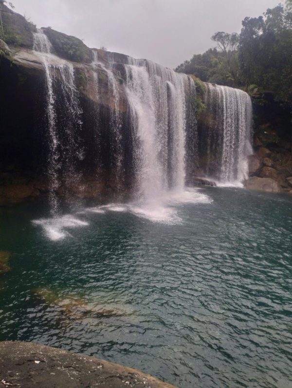
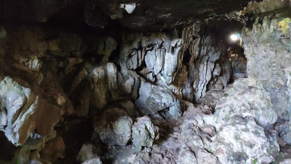
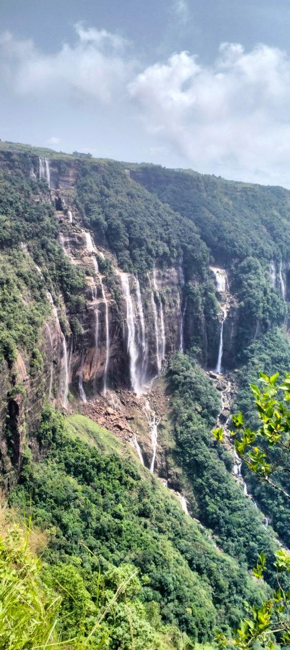
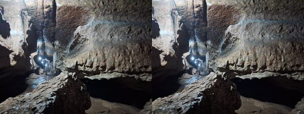
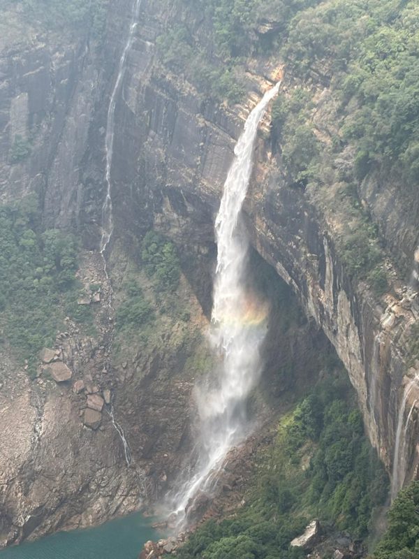
The result is a landscape of waterfalls in every direction: Nokhalikha, Seven Sister, Kynrem, Weisadong, Dainthlen. Below the surface, rain has carved one of Asia's largest cave systems, and Mawsmai and Arwah caves are both walkable with lighting installed. On the plateau edge, viewpoints look down onto cloud rather than up at it.

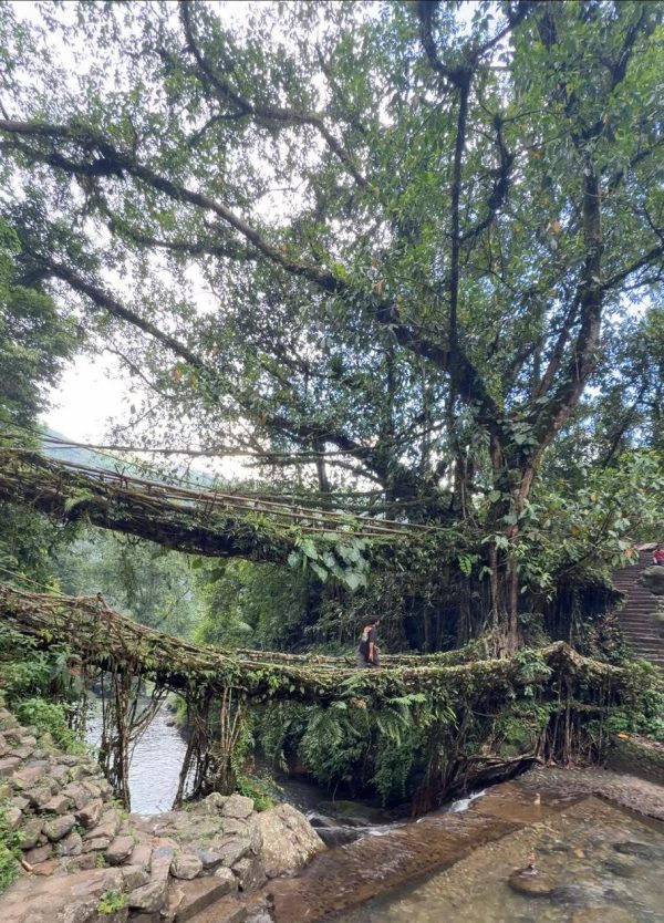
Sohra makes the better base than Shillong for anyone who came for landscapes — two nights here puts the root bridge trek, the waterfall circuit and the caves all within an easy morning's drive.
Why visit

Nokhalikha, Seven Sister and Kynrem falls, two walkable caves and the Nongriat trek all sit within a short drive, so one base covers more than any other town in the state.

Local tip

Stay at least two nights. As a day trip from Shillong, most of your time goes on the road.

Highlights of Sohra — Cherrapunji

  • Waterfall circuit within a few kilometres
  • Mawsmai and Arwah limestone caves
  • Mawkdok Dympep valley viewpoint on the drive up
  • Best base for the Nongriat trek

How to reach Sohra — Cherrapunji

A scenic two-hour drive south from Shillong on a good highway, stopping at Mawkdok Dympep valley. Most of our packages include two nights in Sohra.

FromDistanceTypical drive
Shillong54 km2 h
Guwahati150 km5 h approx.

Approximate road distances. See the full Meghalaya distance chart →

Entry fee

Varies by site — fees are set locally and change from time to time. Carry cash.

Sohra — Cherrapunji on the map

Map location is approximate — confirm the exact entrance with your driver.

NEARBY

Places to visit near Sohra — Cherrapunji

All tourist places
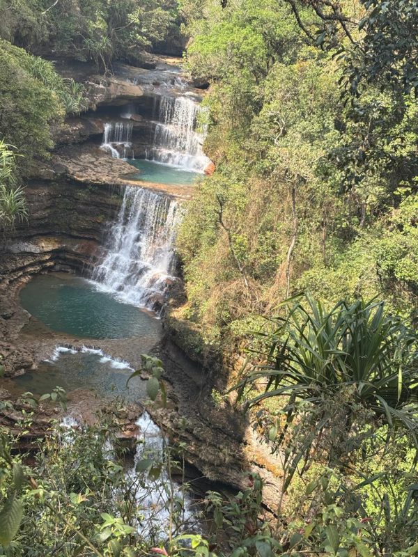
Weisadong Falls, East Khasi Hills, Meghalaya
East Khasi Hills

Weisadong Falls

A three-tier waterfall with turquoise plunge pools, reached by a steep bamboo-ladder descent through the forest.

50 km from Shillong 2 to 3 hours
Seven Sister Falls, East Khasi Hills, Meghalaya Top 10
East Khasi Hills

Seven Sister Falls

Seven parallel streams pouring 315 metres off the Sohra cliff face — best seen in monsoon,…

57 km from Shillong About 1 hour

Weisadong Falls ~1 km away · Mawsmai Cave ~2 km away · Seven Sister Falls ~3 km away · Arwah Cave ~3 km away (straight-line distance; road distance is longer)

YOUR MEGHALAYA AWAITS

Tell us what you want
to experience.

Send us your dates and we will build the itinerary — free, with honest line-by-line pricing.