Locally owned tour operator in Shillong · Meghalaya & North East India
PLAN YOUR ROUTE

Meghalaya Tourist Places Distance Chart

Approximate road distance and driving time to every major tourist place, from Shillong and from Guwahati.

Updated September 2026By Shayeed Hussain, Shillong

Distances in Meghalaya look short on a map but take longer on the road — hill roads, bends and weather mean 50 km can easily take two hours. This Meghalaya tourist places distance chart lists approximate road distance and driving time from Shillong, where most trips are based, and from Guwahati, where most travellers arrive.

Switch the starting point, click any column heading to sort, or search for a place.

Distance chart

Tourist place Area From Shillong Drive time From Guwahati Best time
Shillong East Khasi Hills In Shillong — 100 km Mar – May, Sep – Nov
Ward's Lake East Khasi Hills 1 km 6 min 100 km Mar – May, Sep – Nov
Don Bosco Museum East Khasi Hills 4 km 12 min 104 km Year-round
Shillong Peak East Khasi Hills 10 km 30 min 110 km Oct – Mar
Elephant Falls East Khasi Hills 12 km 30 min 112 km Jun – Oct
Umiam Lake Ri-Bhoi 17 km 30 min 83 km Oct – May
Laitlum Canyons East Khasi Hills 23 km 1 h 123 km Oct – Apr
Mawphlang Sacred Forest East Khasi Hills 25 km 1 h 125 km Oct – Apr
Mawkdok Dympep Valley East Khasi Hills 30 km 1 h 130 km Sep – Mar
Dainthlen Falls East Khasi Hills 50 km 2 h 150 km Jun – Oct
Weisadong Falls East Khasi Hills 50 km 2 h 150 km Oct – Mar
Sohra — Cherrapunji East Khasi Hills 54 km 2 h 150 km Jun – Mar
Arwah Cave East Khasi Hills 55 km 2 h 155 km Oct – May
Mawsmai Cave East Khasi Hills 56 km 2 h 156 km Oct – May
Thadlaskein Lake West Jaintia Hills 56 km 1 h 30 min 156 km Oct – Apr
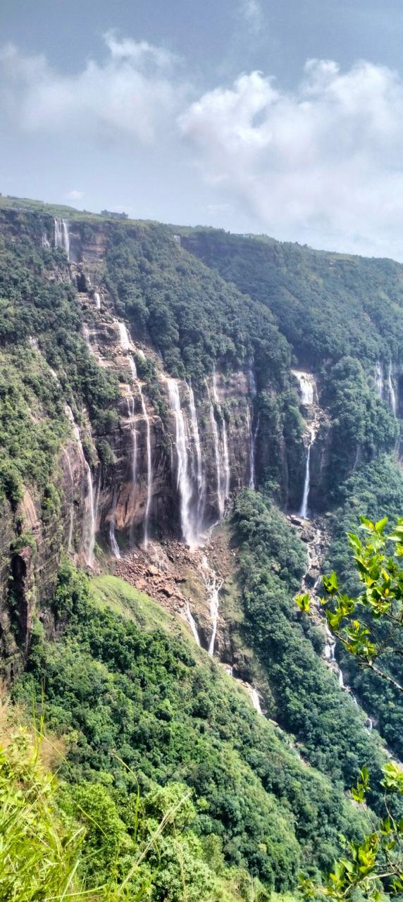
Seven Sister Falls East Khasi Hills 57 km 2 h 157 km Jun – Oct
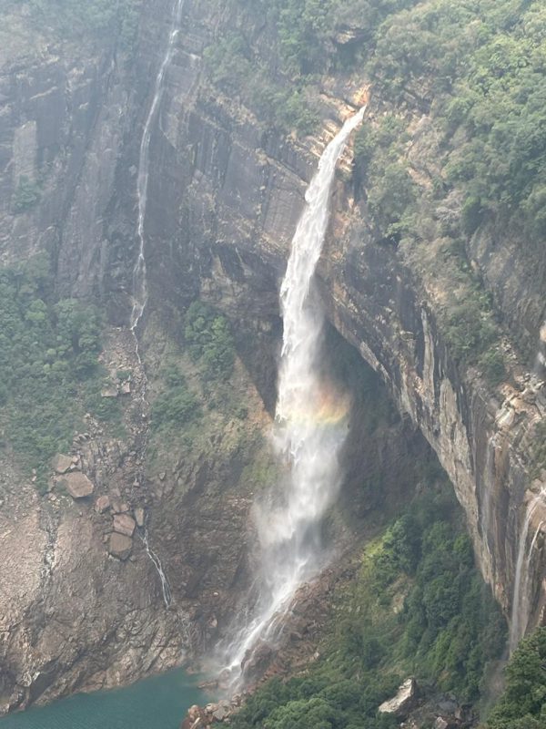
Nokhalikha Falls East Khasi Hills 58 km 2 h 158 km Jun – Dec
Nartiang Monoliths West Jaintia Hills 60 km 2 h 160 km Oct – Apr
Mawsynram East Khasi Hills 61 km 2 h 161 km Jun – Nov
Jowai West Jaintia Hills 64 km 2 h 164 km Jul, Oct – Apr
Kynrem Falls East Khasi Hills 66 km 2 h 30 min 166 km Jun – Oct
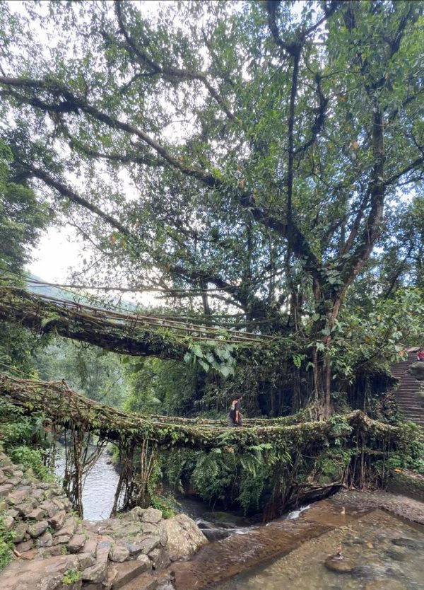
Double Decker Living Root Bridge East Khasi Hills 70 km 2 h 30 min 170 km Oct – Apr
Riwai Living Root Bridge East Khasi Hills 76 km 2 h 30 min 176 km Oct – Apr
Mawlynnong Village East Khasi Hills 78 km 2 h 30 min 178 km Oct – Apr
Dawki & Umngot River West Jaintia Hills 82 km 3 h 182 km Nov – Apr
Shnongpdeng West Jaintia Hills 90 km 3 h 190 km Nov – Mar
Krang Suri Falls West Jaintia Hills 95 km 3 h 195 km Oct – Apr
Balpakram National Park South Garo Hills Remote — ask us — — Nov – Mar
Lynsiar Falls Meghalaya Remote — ask us — — Oct – Mar
Markham Valley Meghalaya Remote — ask us — — Sep – Nov
Siju Cave South Garo Hills Remote — ask us — — Nov – Mar

Approximate road distances and typical driving times in good conditions. Allow extra time in the monsoon.

Meghalaya tourist places by distance from Shillong

Popular routes: distance and travel time

FromToDistanceTravel timeRoute notes
Guwahati Shillong 100 km 3 h NH6, passing Umiam Lake
Guwahati Airport Shillong 120 km 3 h 30 min Add time for city traffic around Guwahati
Shillong Airport (Umroi) Shillong 30 km 1 h Limited flights; weather-dependent
Shillong Cherrapunji (Sohra) 54 km 2 h Via Mawkdok Dympep valley viewpoint
Guwahati Cherrapunji (Sohra) 150 km 4 h 30 min Via Shillong
Shillong Dawki 82 km 3 h Via Pynursla; winding hill road
Shillong Mawlynnong 78 km 2 h 30 min Via Pynursla; usually combined with Dawki
Mawlynnong Dawki 30 km 1 h Easy to combine in one day
Shillong Nongriat trailhead (Tyrna) 70 km 2 h 30 min Then about 3,500 steps down to the root bridge
Shillong Laitlum Canyons 23 km 1 h Narrow village road for the last stretch
Shillong Jowai 64 km 2 h NH6 towards Silchar
Jowai Krang Suri Falls 30 km 1 h Village road towards Amlarem
Shillong Mawsynram 61 km 2 h Through the Khasi uplands
Guwahati Tura 220 km 6 h For Balpakram and Siju in the Garo Hills

Tips for estimating travel time

  • Budget roughly 30–35 km per hour on hill roads, and less in fog or rain.
  • From June to September, add a buffer for landslides and slow traffic.
  • Group places by area: the Cherrapunji sights are close to each other but far from Dawki.
  • Leave early. Roads to Dawki, Cherrapunji and Laitlum get busier after 10 am, especially at weekends.

All figures are approximate and meant for planning. Our drivers will confirm timings for your exact route — ask us, or see our packages with transport included.

QUESTIONS

Frequently asked questions

Still unsure? Our Shillong team answers on WhatsApp, usually within minutes.

Ask a question

About 100 km by road, which takes around three hours on NH6. From Guwahati airport it is roughly 120 km.

Cherrapunji (Sohra) is about 54 km from Shillong — roughly a two-hour drive via the Mawkdok Dympep valley viewpoint.

Dawki is about 82 km from Shillong, around three hours by road via Pynursla. Mawlynnong is a short detour on the same route, about 30 km from Dawki.

About 150 km, or roughly four and a half hours by road via Shillong.

Cherrapunji, Dawki with Mawlynnong, Laitlum Canyons, Mawphlang, Umiam Lake and the Jowai–Krang Suri route all work as day trips, though Cherrapunji is better with an overnight stay.

KEEP PLANNING

More Meghalaya travel guides

Meghalaya photos
YOUR MEGHALAYA AWAITS

Tell us what you want
to experience.

Send us your dates and we will build the itinerary — free, with honest line-by-line pricing.